
Elevating Geological Monitoring to New Heights
Alberta - September 04, 2016Living in Canada’s Rocky Mountains can be idyllic; on occasion, it can also prove perilous. The coal-mining town of Frank, in Alberta’s Crowsnest Pass, can attest to this.
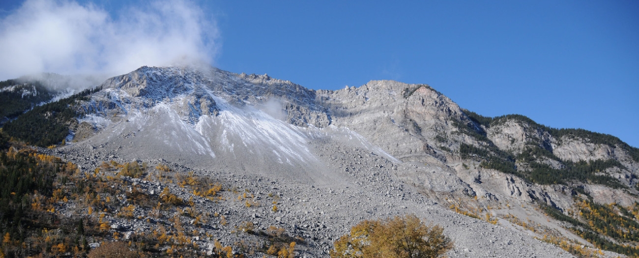
On April 29, 1903, it took just 90 seconds for 82 million tonnes of rock to tumble down Turtle Mountain to the valley below, devastating Frank. The Frank Slide, as it came to be known, claimed the lives of 90 people.
To protect those who still live in its shadow, the AER’s Alberta Geological Survey (AGS) has kept watch on any movement of Turtle Mountain for more than a decade.
“Our real-time monitoring network of the south peak of Turtle Mountain is one of the most technologically advanced monitoring tools available,” said Todd Shipman, AGS manager of landscape and geological hazards.
The network also acts as an early warning system in the unlikely case of another major landslide. The early warning system uses monitoring equipment to help track the slight movements in the mountain.
The primary technology used to detect any movement is a remote device called a ground-based InSAR (interferometric synthetic aperture radar), which is at ground level. This equipment transmits radar waves to the face of the mountain and measures any movement of the rock face toward the device. It moves along a four-metre rail every eight minutes, comparing data between measurements.
Based on data gathered by the network, AGS experts have determined that Turtle Mountain’s south peak has a history of very slow movement, typically three millimetres per year over the past 24 years—well below the level that would raise concerns.
“Turtle Mountain is an important part of Alberta’s history and landscape,” Shipman said. “We’re continuing to keep an eye on it, to keep Albertans informed and safe.”
John Ludwick, Writer