
The AER’s Alberta Geological Survey speaks for the stones
Alberta - July 16, 2019If the rocks could talk, what would they say?
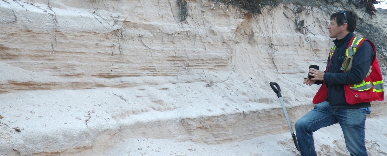
Fortunately, there are geologists who're able to decipher them and tell the stories of the earth's past, present, and future—some of whom work for the Alberta Geological Survey (AGS).
"We're a group of earth scientists who help Albertans, the regulator, organizations, governments, researchers, and the oil and gas industry understand both what's on the surface and under our feet," explains Andrew Beaton, vice president of the AGS.
Dr. John Allan, a former University of Alberta professor and geologist who founded the AGS in 1920, knew exactly how to read rocks. In fact, he was so proficient in his craft that he was able to predict Alberta's oil boom—not even Nostradamus saw that one coming.
In one of his earliest reports to the Government of Alberta, Allan wrote, "With ever increasing uses for petroleum as liquid fuel for motive power on the land, sea and in the air, for illuminating purposes, for power and lubrication in industry, for chemical manufacturers, for preservatives and for road-making, the demand is fast exceeding the production, and what is more serious, the known supply of petroleum in reserve."
When he wrote those words, motorized vehicles had only been on the road for about 10 years, the roads they were driving on were still mostly dirt, and the flares blasting high in the skies over Turner Valley had only been doing so for a few years.
Fast forward almost 100 years and reading rocks is even more important than ever. Today the AGS—now a branch of the Alberta Energy Regulator (AER)— has about 60 staff dedicated to researching everything on the surface and below our feet—from the province's sand and gravel to its diamonds, salt, uranium, and water endowment, with particular interest in oil and gas.
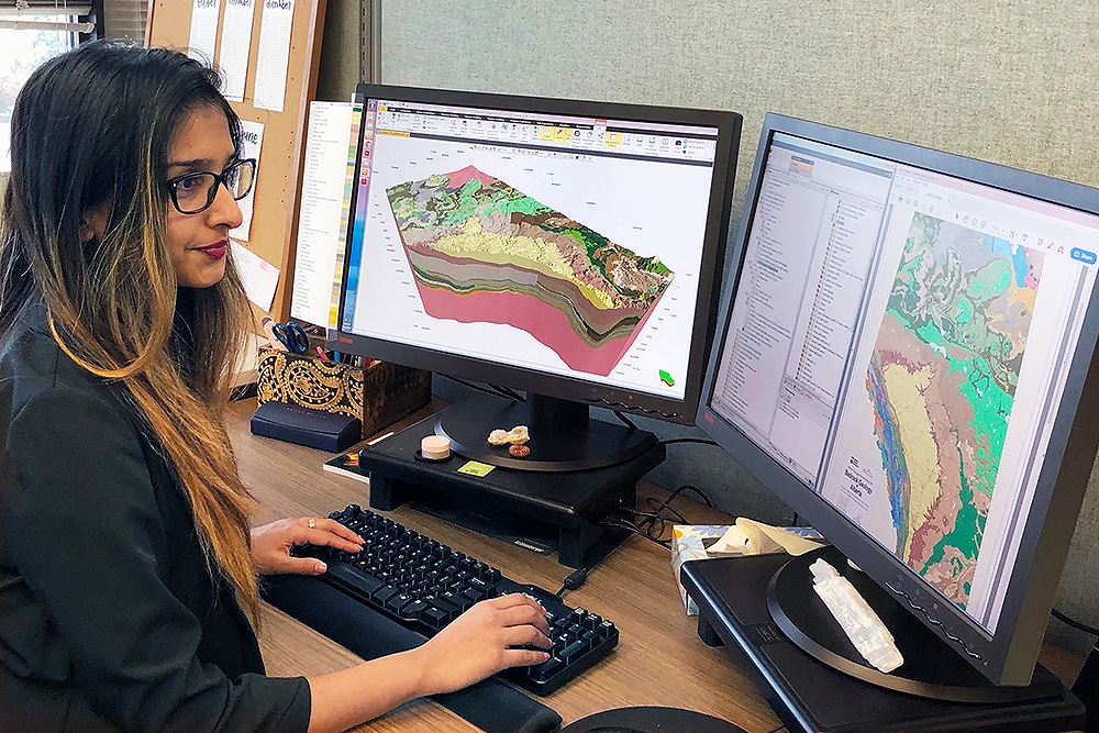
And the work done by the AGS, from mapping out Alberta's geological layers to maintaining the recently updated Alberta Table of Formations, is used by the AER to help make decisions and develop rules that govern energy development, but we're not the only customer. Many government departments, industry, academia, and the general public look to the AGS to understand the story being told beneath our feet.
"Studying the geology of Alberta helps us understand everything from how contamination affects the environment, to potential hazards like earthquakes and rockslides, to how to best tap into our rich resources and minerals and preserve and protect our water resources," says Beaton, who encourages people to visit the AGS website to learn more.
If Allan were with us today, he would be proud to see that the survey he helped create and run from the side of his professor's desk all of those years ago is a thriving institution that does so much for the province, such as monitoring seismic activity, creating resource and groundwater maps, and producing 3-D geology and Minecraft models that encourage people to learn about Alberta's fascinating and complex geology.
Cassie Naas, Writer