
How the AGS went high-tech to upgrade Turtle Mountain’s early warning system
Alberta - November 13, 2017The mountain is moving.
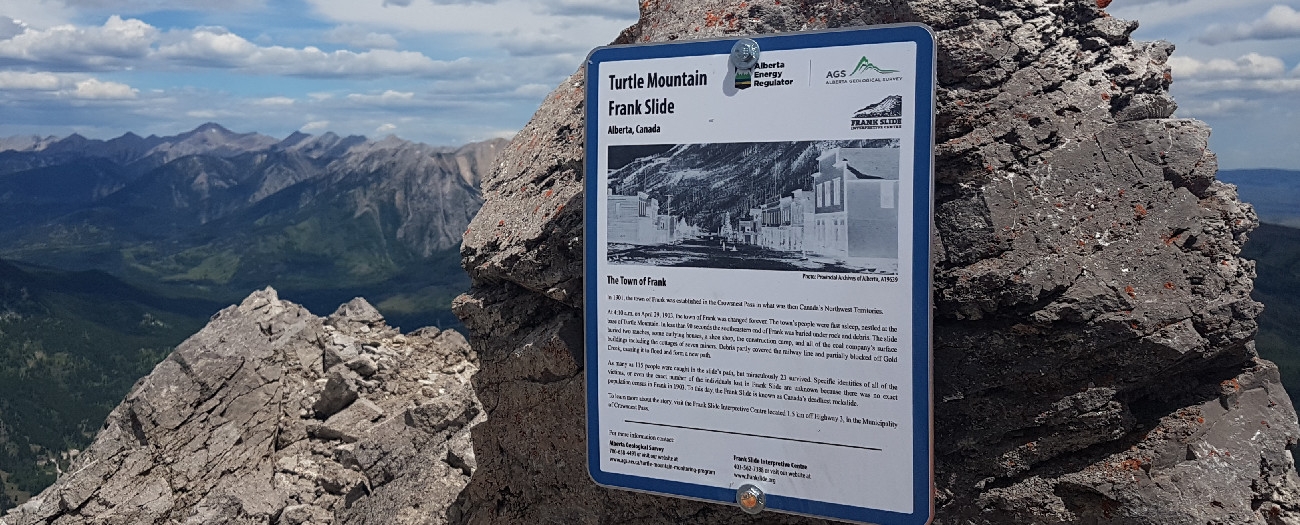
Likely a sentence you’d rather not hear, regardless of where you are in the world. But it’s a reality for residents of the Crowsnest Pass area in southwestern Alberta, where Canada’s most deadly rockslide occurred in 1903 when 82 million tonnes of rock fell and killed at least 90 people.
In the 114 years since that incident, Turtle Mountain has not experienced another landslide, yet the hazard still exists. Studies have been ongoing for decades to investigate the potential for another slide. In 2003, an early-warning monitoring system was installed to ensure that the mountain front was constantly monitored. Residents want to know that the mountain is still being carefully watched.
“Locals feel there is no greater indication of what the mountain can do than what it’s already done. Residents of Crowsnest Pass don’t want to hear that the mountain is not being monitored anymore,” says Monica Field with the Frank Slide Interpretive Centre. “It’s important for them to know that we are still being vigilant.”
A Mountainous Makeover
Turtle Mountain recently got a facelift of sorts when the Alberta Geological Survey (AGS)—a branch of the Alberta Energy Regulator—decommissioned the mountaintop equipment and replaced it with a near-real-time remote monitoring system.
“The monitoring equipment on the mountain was state of the art when we installed it more than 14 years ago, but science and technology constantly change and you need to change with it,” says Danielle Wood, geohazards monitoring specialist with the AGS.
As you can imagine, a lot of data has been collected in a century of monitoring activity. Field notes this is another reason for the transition to the remote system.
“We were going on projections before, but now we can make these changes based on our increased understanding of the mountain. Scientists have been able to figure out what areas could fail and where the rocks could go,” says Field.
Each day over the course of a week, crews were flown up Turtle Mountain to disassemble the equipment and remove it. In total, about 3600 kilograms of equipment was choppered out.
The new monitoring system, named LiSAmobile, rests at the bottom of the mountain and is the primary monitoring system for tracking rock movements. LiSAmobile scans the mountain surface and takes measurements every eight minutes, and this data is evaluated and used to create 2-D maps of the surface that are analyzed for changes.
It’s a high-tech solution that brings peace of mind.
"Residents of Crowsnest Pass know that the mountain is in good hands,” adds Field.
Kate Bowering, Writer
Luke Spencer, Digital Media